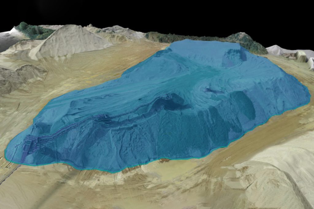
As engineers, we are always looking for the most efficient and accurate methods to measure stockpiles. Laser scanners have become increasingly popular in recent years as they offer a fast and reliable way to measure stockpile volumes. In this blog post, we will discuss the advantages of using laser scanners for stockpile analysis and volume measurements compared to traditional methods.
The primary advantage of using laser scanners is their speed and accuracy when measuring large stockpiles with complex shapes or angles. By utilizing 3D scanning technology, these systems can quickly capture detailed data points from each side of the pile which can then be used to calculate its exact volume or size without having to manually take measurements on site—saving time while still providing precise results that would otherwise require hours’ worth of manual labor by an engineer or surveyor team on-site. Additionally, since these scans are done remotely from above ground level (via drones), there is no need for personnel on-site who may potentially be exposed to hazardous conditions at high elevations such as dust particles or other airborne pollutants released during excavation processes like mining operations where piles often reach heights greater than 10 meters tall!

Another benefit associated with using laser scanning techniques over traditional measurement techniques is that it eliminates potential human error due its automated nature; unlike manual surveying which requires an experienced surveyor taking multiple readings around a single point within a given area before triangulating those readings together into one final result – lasers can instantly provide all necessary information in one pass over any given surface without requiring additional input/calculations afterwards! This not only reduces overall costs associated with surveying but also ensures more consistent results between different surveys taken at various times throughout any project’s duration as well – ensuring accuracy every step along your engineering journey!
Lastly, many modern models come equipped with features such as GPS integration so you know exactly where your scan was taken (which makes it easier if you ever need revisit certain areas) plus software packages designed specifically for analyzing scanned data sets allowing users even further insight into their projects beyond just simple volumetric calculations – enabling them make better decisions based upon what they see instead relying solely upon guesswork alone! All in All making use out lasers provides us engineers increased efficiency & reliability when dealing our day-to-day tasks – something especially important now more than ever considering how competitive today’s industry has become!
